
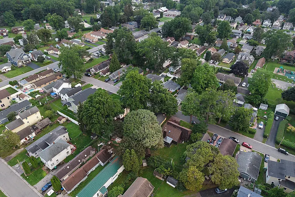
What a progress visit includes
Each visit flies a saved flight plan, so every month is shot from the same positions and directly comparable. You choose what comes back:
- Photo/video set: dated oblique stills of each area of the site plus a short overview clip, ready for the monthly owner report.
- Progress orthomosaic: a measurable straight-down map of the site each visit, as GeoTIFF and KMZ, for overlaying on drawings and tracking earthwork, paving and structures. See drone mapping.
Photo/video progress visits are $295. Progress orthomosaics are $495 per visit for sites up to five acres (+$25/acre beyond), fitted to your project control for +$150. Both have a three-visit minimum; larger sites and long programs are quoted from the drawings and schedule.
Reality capture for your BIM and VDC team
The same flights produce a georeferenced point cloud (LAS/LAZ) and a textured 3D mesh (OBJ) of existing conditions and each stage of the work. Fitted to the project's control, they drop into Autodesk ReCap, Navisworks, Civil 3D and Revit alongside the design model, so your team can compare what's built against what's drawn, month by month. Reality capture for BIM →
How it works on an active site
Pre-construction existing conditions
One flight before mobilization records the site, neighbouring property, access routes and laydown. It's cheap insurance against disputes later.
Agree the plan with the superintendent
Launch point, flight area, crane activity and times are agreed before the first visit. We check in on site every time and never fly over workers.
Same plan, every visit
Monthly, bi-weekly or at milestones. The saved flight plan means this month's images line up with last month's.
Delivered in open formats
Photos, video and maps by secure link, organised by date, ready for Procore, DroneDeploy, Autodesk or your own server.
Closeout set
A final record of the finished project for the owner, the marketing team and the file.
Why owners and GCs use aerial progress records
- Disputes: a dated, georeferenced record of conditions before, during and after.
- Owner and lender reports: one image shows more of the site than a dozen ground photos.
- Remote stakeholders: architects, owners and executives see the site without a site visit.
- Spec compliance: many Division 01 specifications (photographic documentation) call for periodic aerial photos; we price to the spec.
Safety, airspace and insurance
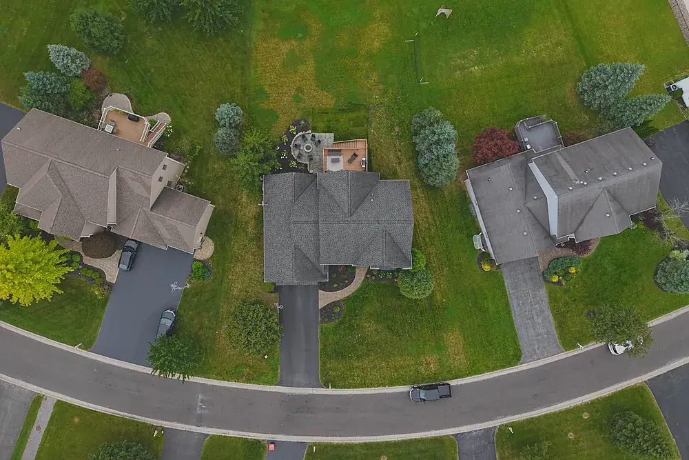
Every flight is flown under FAA Part 107 by a certified remote pilot with airspace authorization in place where required. We carry aviation liability insurance and can name the prime and owner as additional insured where a written agreement requires it. Remote ID–compliant aircraft with anti-collision lighting. On projects subject to the American Security Drone Act (FAR 52.240-1), DJI and other covered aircraft are not used; we'll confirm a compliant aircraft with you before mobilization.
Common questions
How much does construction drone photography cost?
How often should a site be flown?
Can you fly over workers on site?
Will the files work with Procore or DroneDeploy?
Can you work as a subcontractor on public projects?
Related services
Drone mapping & site maps
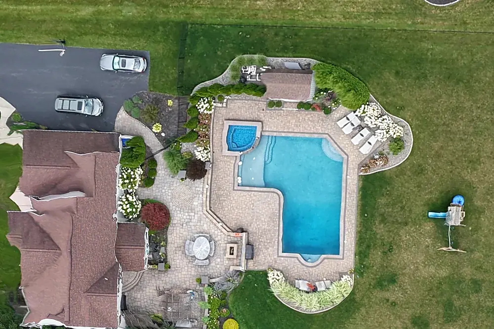
Orthomosaic maps you can measure on, as GeoTIFF and Google Earth KMZ, fitted to your project control when you need it.
Explore →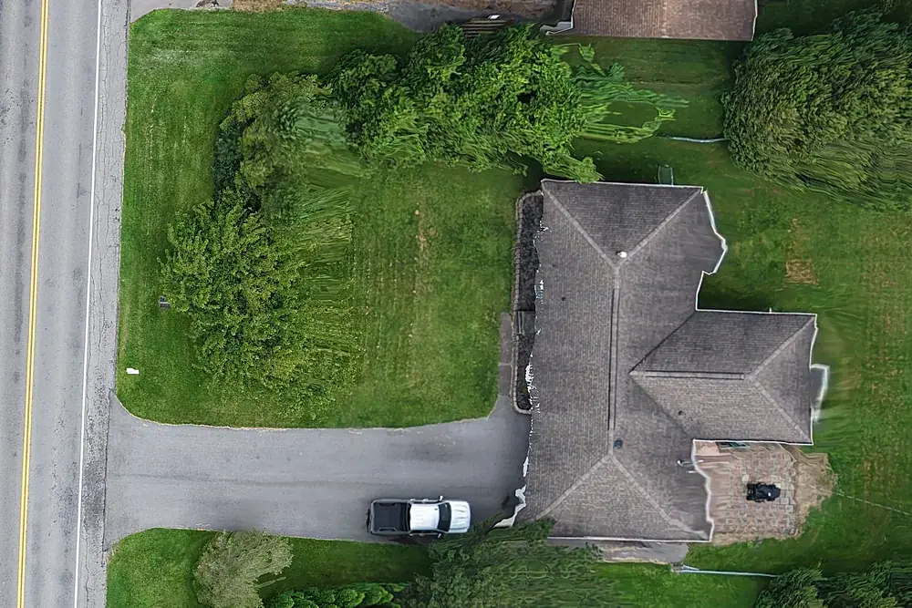
Reality capture for BIM & VDC
Point clouds, 3D meshes and orthomosaics of existing conditions and progress, aligned to your project control.
Explore →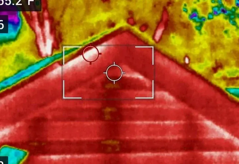
Infrared roof moisture surveys
Find wet insulation under flat and low-slope roofs so you repair the wet section, not the whole roof.
Explore →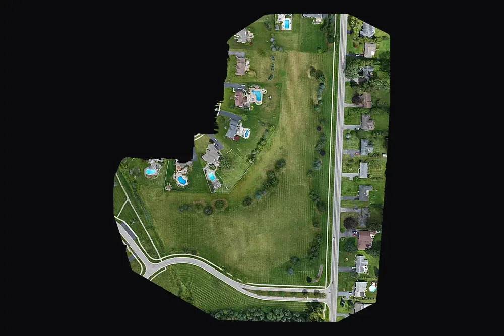
For primes and agencies (SDVOB)
NYS-Certified SDVOB drone documentation, mapping and thermography. Capability statement.
Explore →Where we fly
Based in Irondequoit and serving Rochester and Monroe, Wayne, Ontario, Livingston, Orleans and Genesee Counties, including Irondequoit, Webster, Penfield, Fairport, Pittsford, Brighton, Henrietta, Greece, Gates, Chili, Hilton, Spencerport, Victor, Canandaigua, Brockport, Honeoye Falls, Sodus, Williamson, Geneseo, Batavia and Albion. Travel beyond 25 miles of Rochester is $0.75 per mile. FAA airspace authorization near Greater Rochester International is filed by us at no charge.