Real estate listing packages
Aerial
$199
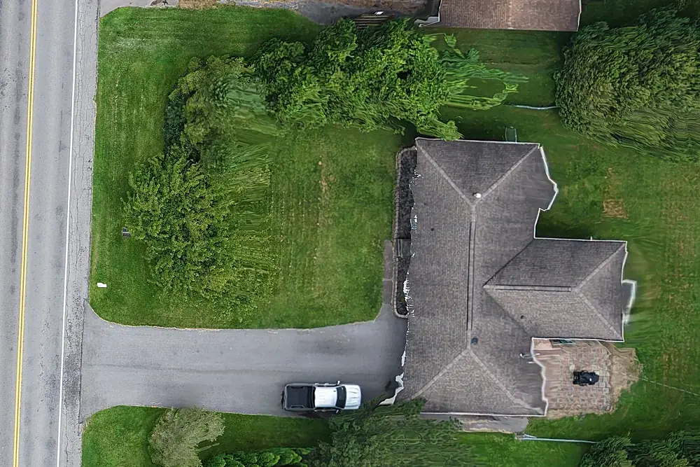
- At least eight edited aerial stills
- Elevations, approach, the lot, the setting
- MLS-ready and web/social sizes
- Usually back within 24 hours
Aerial + Ground
$299
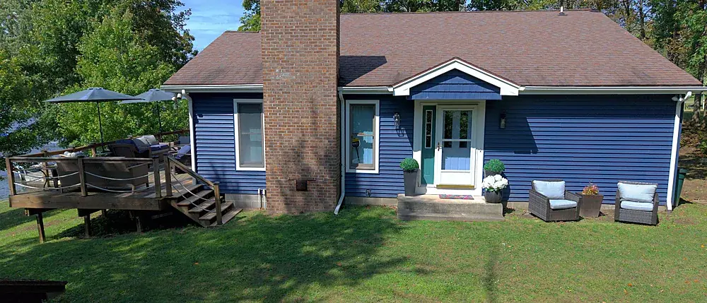
- Everything in Aerial
- Plus a low-altitude ground-level exterior set
- No cap on frames
- Usually back within 24–48 hours
Aerial + Film
$399
- Everything in Aerial
- 60–90 second listing film
- Vertical cut for Reels and Stories
- Poster frame
First listing with us: $125, any package, one per agent. Real estate details →
Everything else
| Service | What you get | Price |
|---|---|---|
| Vertical Reel | 30–45 second vertical video on its own | $249 |
| Land & Acreage | Stills, approximate parcel lines, orbit video, up to 10 acres | $475 |
| Roof Report | Every slope and ridge, annotated PDF | $95 |
| Storm Response | Priority damage documentation | $150 |
| Site Map | Orthomosaic, GeoTIFF + KMZ, up to 5 acres | $495 |
| Additional acreage | Per acre beyond 5 | +$25/acre |
| 3D + elevation model | Add-on to any Site Map | +$225 |
| Progress orthomosaic | Same flight each visit, up to 5 acres, 3-visit minimum | $495/visit |
| Progress photo/video visit | Dated photos and video from the same positions, 3-visit minimum | $295/visit |
| Fit to existing project control | Map corrected to your surveyor's control, with check-point report | +$150 |
| PPK correction / BIM reality capture | When there's no control on site / point cloud and 3D mesh for VDC | Quoted |
| Thermal imaging | Roof moisture surveys, moisture scans, building envelope surveys | Quoted per building |
| Twilight / golden hour | Add-on | +$100 |
| Same-day delivery | Booked before 11am | +$100 |
| Travel | Beyond 25 miles of Rochester | $0.75/mile |
Why we quote a minimum, not a number
You're not buying eight photographs. You're buying the property covered properly; eight is just the fewest that ever takes. A ranch on a quarter acre might be eight. A corner lot with a pool, a pole barn and a view of the water might be sixteen. Same price. You'll never get an invoice with a per-photo line on it.
Common questions
Is FAA airspace authorization extra?
Why isn't thermal imaging priced on the site?
Do you charge travel?
Related services
Real estate drone photography
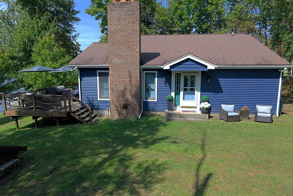
Listing aerials, ground sets and films from $199. City and near-airport addresses included.
Explore →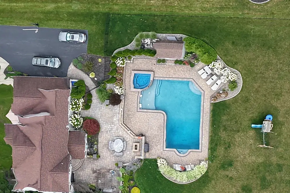
Drone mapping & site maps
Orthomosaic maps you can measure on, as GeoTIFF and Google Earth KMZ, fitted to your project control when you need it.
Explore →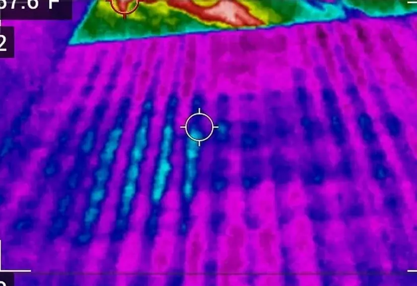
Thermal imaging & infrared
Infrared thermography of roofs and buildings by a Level I Certified Thermographer.
Explore →Where we fly
Based in Irondequoit and serving Rochester and Monroe, Wayne, Ontario, Livingston, Orleans and Genesee Counties, including Irondequoit, Webster, Penfield, Fairport, Pittsford, Brighton, Henrietta, Greece, Gates, Chili, Hilton, Spencerport, Victor, Canandaigua, Brockport, Honeoye Falls, Sodus, Williamson, Geneseo, Batavia and Albion. Travel beyond 25 miles of Rochester is $0.75 per mile. FAA airspace authorization near Greater Rochester International is filed by us at no charge.