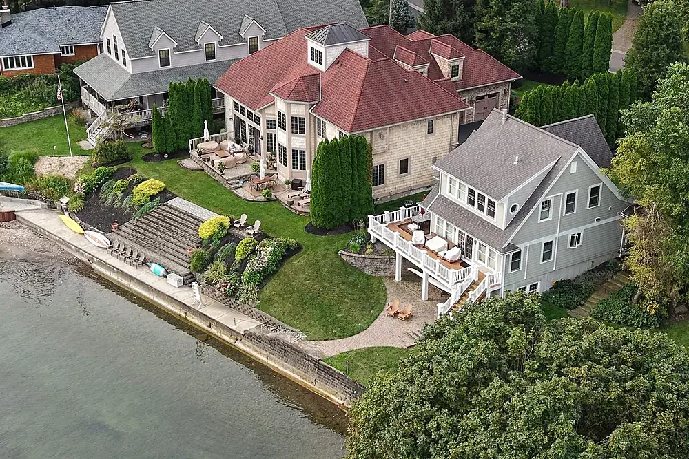
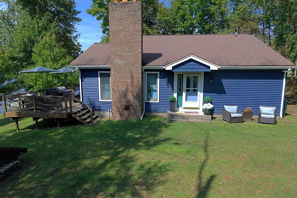
Listings and waterfront
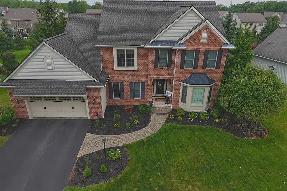
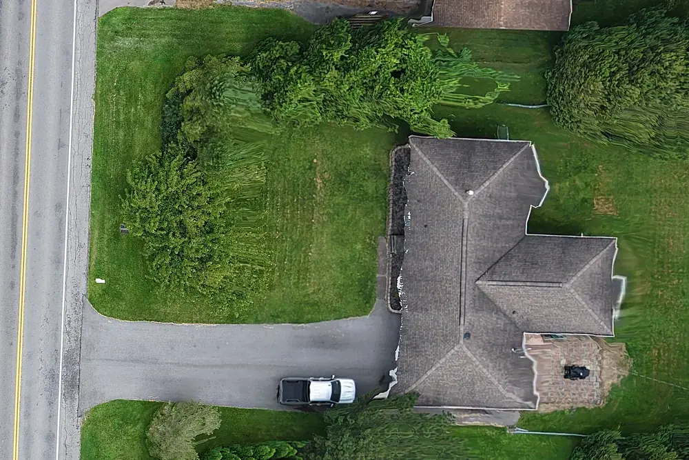
Mapping and roofs
Related services
Real estate drone photography
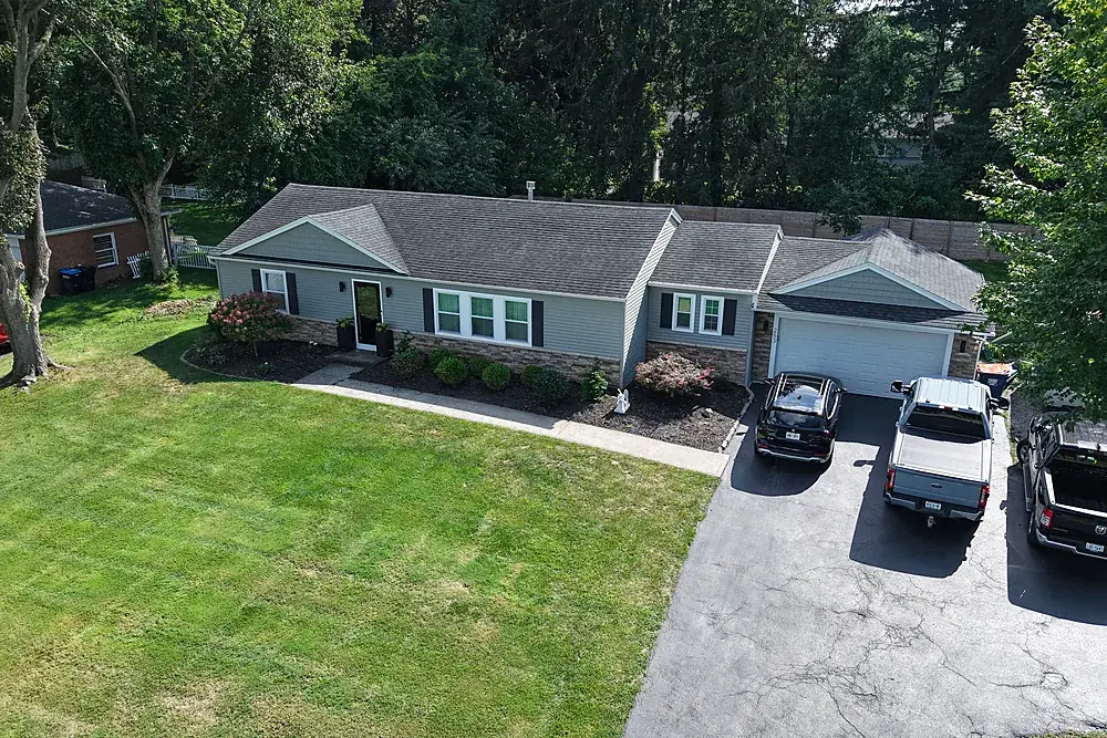
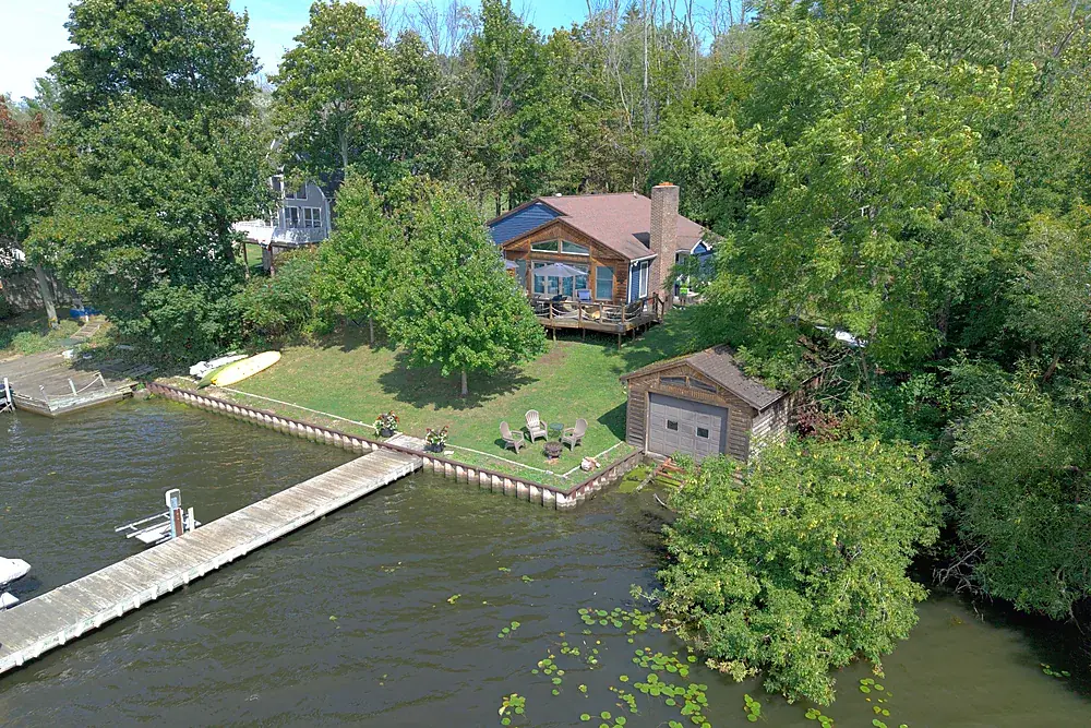
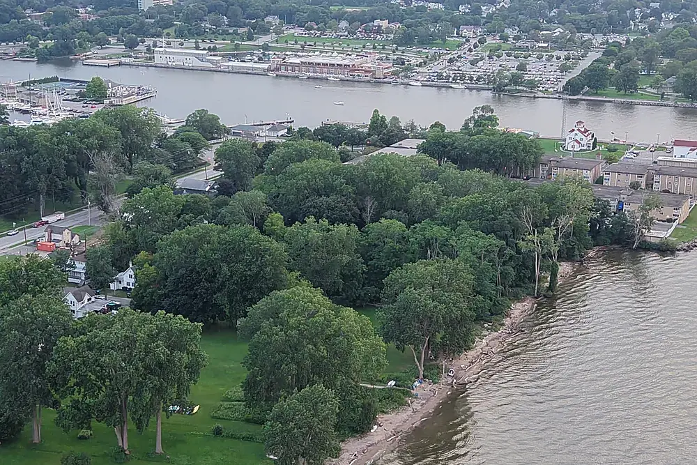
Listing aerials, ground sets and films from $199. City and near-airport addresses included.
Explore →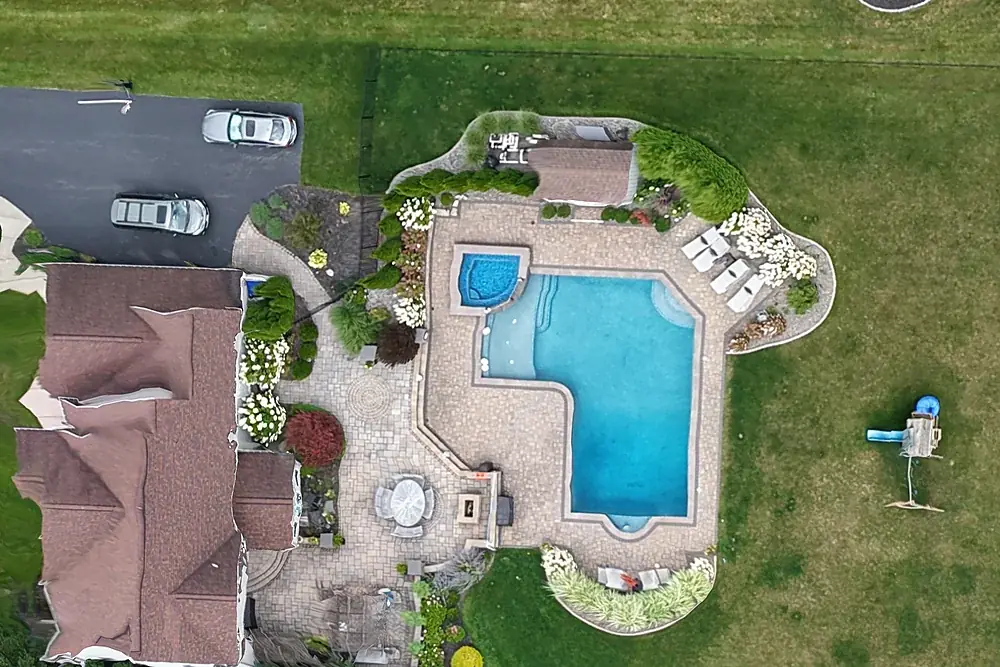
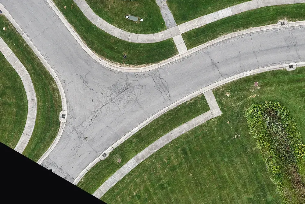
Drone mapping & site maps
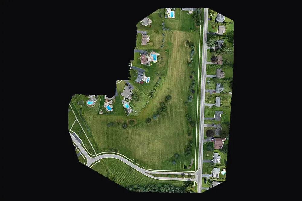
Orthomosaic maps you can measure on, as GeoTIFF and Google Earth KMZ, fitted to your project control when you need it.
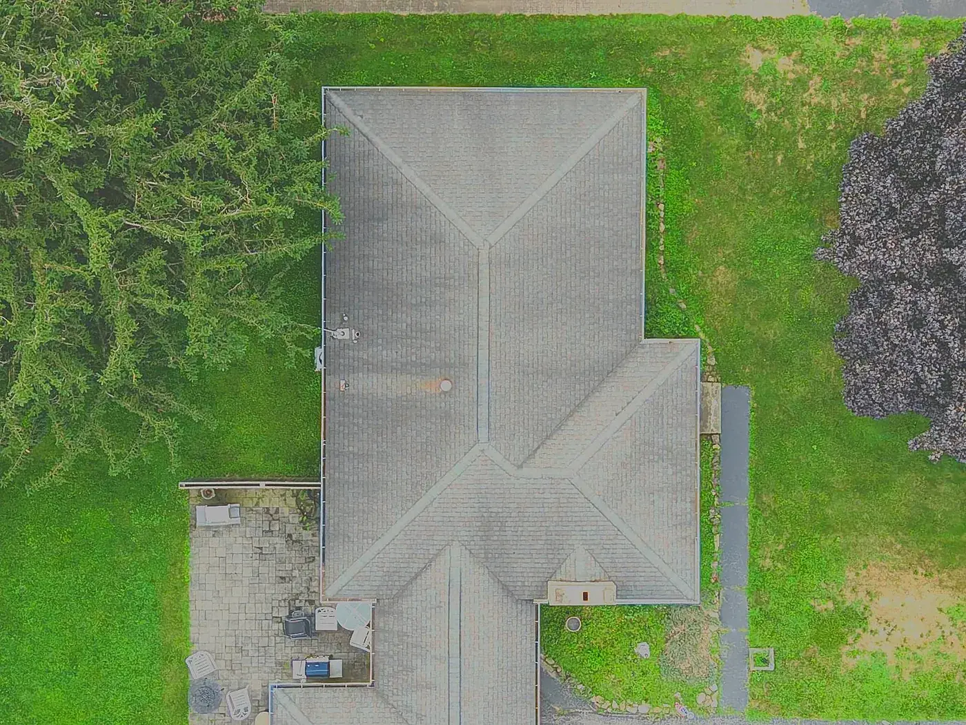
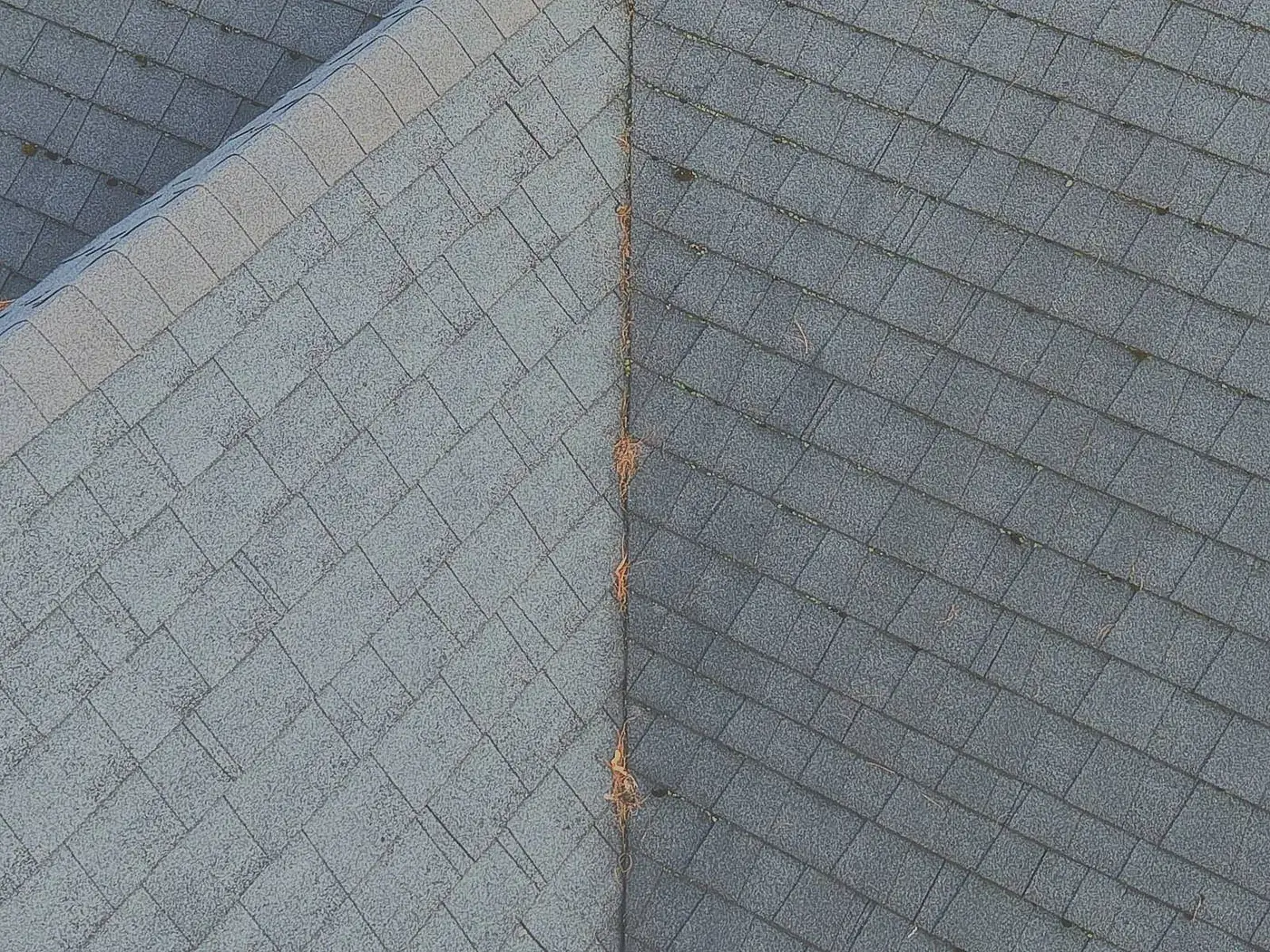
Explore →Drone roof inspection reports
Every slope and ridge photographed from above and annotated in a PDF. No ladder. $95.
Explore →Where we fly
Based in Irondequoit and serving Rochester and Monroe, Wayne, Ontario, Livingston, Orleans and Genesee Counties, including Irondequoit, Webster, Penfield, Fairport, Pittsford, Brighton, Henrietta, Greece, Gates, Chili, Hilton, Spencerport, Victor, Canandaigua, Brockport, Honeoye Falls, Sodus, Williamson, Geneseo, Batavia and Albion. Travel beyond 25 miles of Rochester is $0.75 per mile. FAA airspace authorization near Greater Rochester International is filed by us at no charge.