
What an orthomosaic is, and why it beats a pile of aerial photos
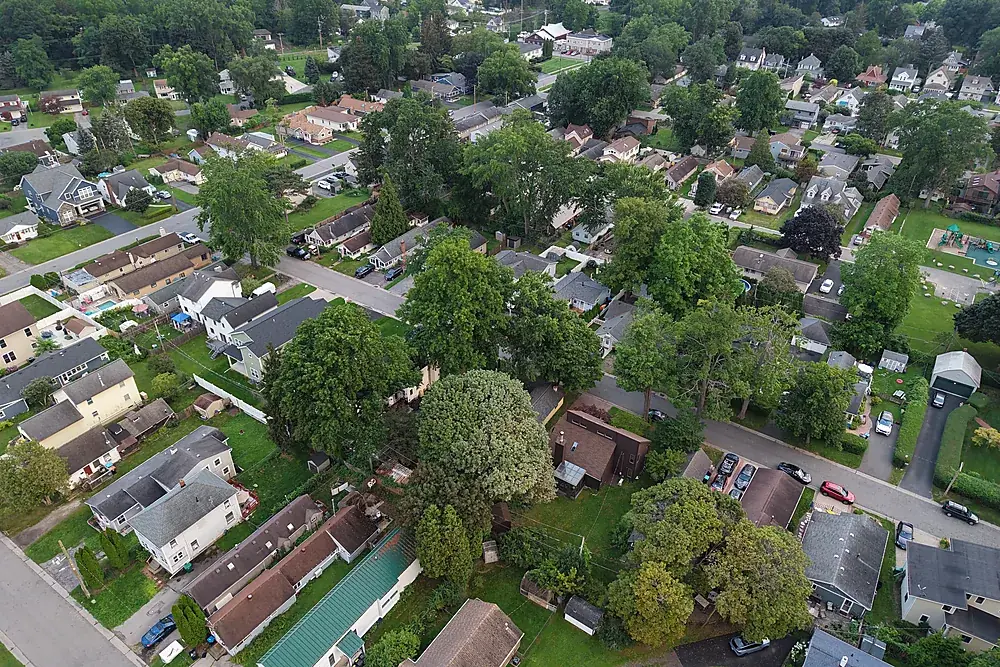
An orthomosaic is a map stitched from hundreds of overlapping photos and corrected so that every pixel is seen from straight above at a consistent scale. Unlike a single oblique photo, you can measure distances and areas on it, overlay it on drawings, and compare it month to month.
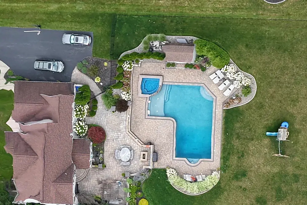
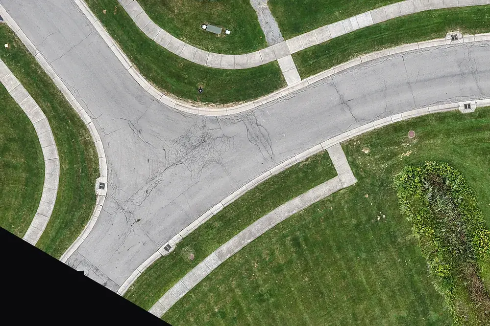
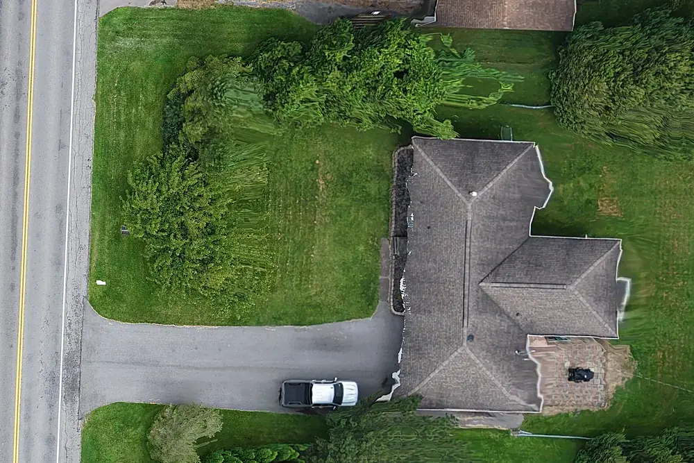
Our standard flight captures roughly 1–2 cm per pixel, enough to see individual pavers, pavement cracking and curb joints. The example above is 25.8 acres in Ontario, NY, flown and processed in a single afternoon at 1.9 cm per pixel.
Detail from the same map
Drone mapping prices
| Service | What you get | Price |
|---|---|---|
| Site Map | Orthomosaic as GeoTIFF + Google Earth KMZ, up to 5 acres | $495 |
| Additional acreage | Per acre beyond 5 | +$25/acre |
| 3D model + elevation model | Add-on to any Site Map | +$225 |
| Progress orthomosaic | Same flight plan each visit, a measurable map every time, up to 5 acres, 3-visit minimum | $495/visit |
| Progress photo/video visit | Dated oblique photos and a short video from the same positions each visit | $295/visit |
| Fit to existing project control | Map corrected to the control points your surveyor of record has already set, with a check-point accuracy report | +$150 |
| PPK correction (no control on site) | Aircraft positions post-processed against New York's GNSS reference stations to tighten absolute position | Quoted |
| Reality capture for BIM | Point cloud (LAS/LAZ) and textured 3D mesh (OBJ) for your VDC team | Quoted |
| Travel | Beyond 25 miles of Rochester | $0.75/mile |
Larger sites and recurring programs are quoted per project. Maps are typically delivered within 48 hours of the flight; we'll confirm the schedule for your site before we fly.
What you receive
- GeoTIFF orthomosaic for GIS, CAD and project-management software
- Google Earth KMZ anyone on the team can open
- Optional 3D model and elevation model (DSM) for visualising grades and stockpile areas
- A dated flight record: date, time, pilot, aircraft and airspace authorization
Files are delivered in open formats so they plug into Procore, DroneDeploy, Autodesk, QGIS or ArcGIS without a vendor login.
Who uses drone maps
- General contractors and site superintendents documenting existing conditions and monthly progress (see construction progress documentation)
- Excavation and site-work contractors tracking earthwork
- Developers, architects and owners planning a site
- Land brokers and owners showing acreage (see land & acreage)
- Facilities and property managers keeping a current picture of a campus
Accuracy: what this is, and what it isn't
Resolution and accuracy are different numbers. Resolution is how small a detail the map shows. Accuracy is how close a point on the map is to its true position on the ground. There are three ways we position a map, and the quote says which one you're getting:
- Fitted to your existing project control (preferred). If the surveyor of record has already set control on the site, send us the coordinates on our control request form. We use them exactly as supplied, in your project's coordinate system, so the map lines up with your drawings and your BIM model. Some points are held back as independent checks, and the delivered map comes with a check-point report. +$150.
- PPK correction (Plan B when there's no control). The aircraft's GNSS positions are post-processed against New York's continuously operating reference stations, which tightens absolute position without anyone setting points on the ground. Available per project; we'll confirm it when we quote. Without independent check points, no accuracy figure is claimed.
- Onboard GNSS only (standard). Good for documentation and relative measurement; absolute position is roughly 3–5 metres.
Accuracy is only ever stated from check points held out of processing and measured on the finished map, reported as horizontal RMSE with the number of points used, following the ASPRS Positional Accuracy Standards for Digital Geospatial Data, Edition 2, Version 2 (2024). No accuracy class and no vertical accuracy are claimed. We never set control for a client; coordinate authority stays with your surveyor.
A drone map is documentation. It is not a land survey, and it isn't used for boundaries, legal descriptions, engineering design or certified quantities. Where those govern, you need a licensed land surveyor, and we're happy to work alongside one.
Common questions
How much does drone mapping cost in Rochester?
Can the map line up with our site control and drawings?
What file formats do I get?
Can I use the map for property lines or engineering design?
How do you report accuracy?
How big a site can you map?
Do you need access to the site?
Related services
Construction progress documentation
Monthly aerial photos, video and maps from the same positions, for owner reports and the project record.
Explore →Reality capture for BIM & VDC
Point clouds, 3D meshes and orthomosaics of existing conditions and progress, aligned to your project control.
Explore →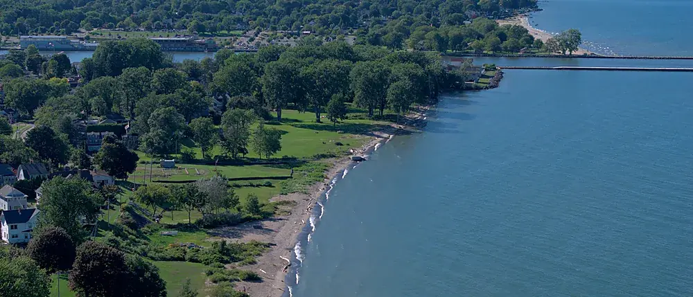
Land & acreage aerials
Aerial stills, approximate parcel lines and an orbit video for land listings up to 10 acres. $475.
Explore →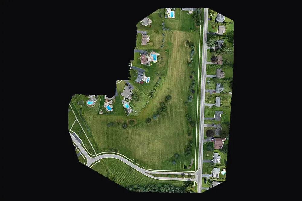
For primes and agencies (SDVOB)
NYS-Certified SDVOB drone documentation, mapping and thermography. Capability statement.
Explore →Where we fly
Based in Irondequoit and serving Rochester and Monroe, Wayne, Ontario, Livingston, Orleans and Genesee Counties, including Irondequoit, Webster, Penfield, Fairport, Pittsford, Brighton, Henrietta, Greece, Gates, Chili, Hilton, Spencerport, Victor, Canandaigua, Brockport, Honeoye Falls, Sodus, Williamson, Geneseo, Batavia and Albion. Travel beyond 25 miles of Rochester is $0.75 per mile. FAA airspace authorization near Greater Rochester International is filed by us at no charge.