Listing packages
Aerial
$199
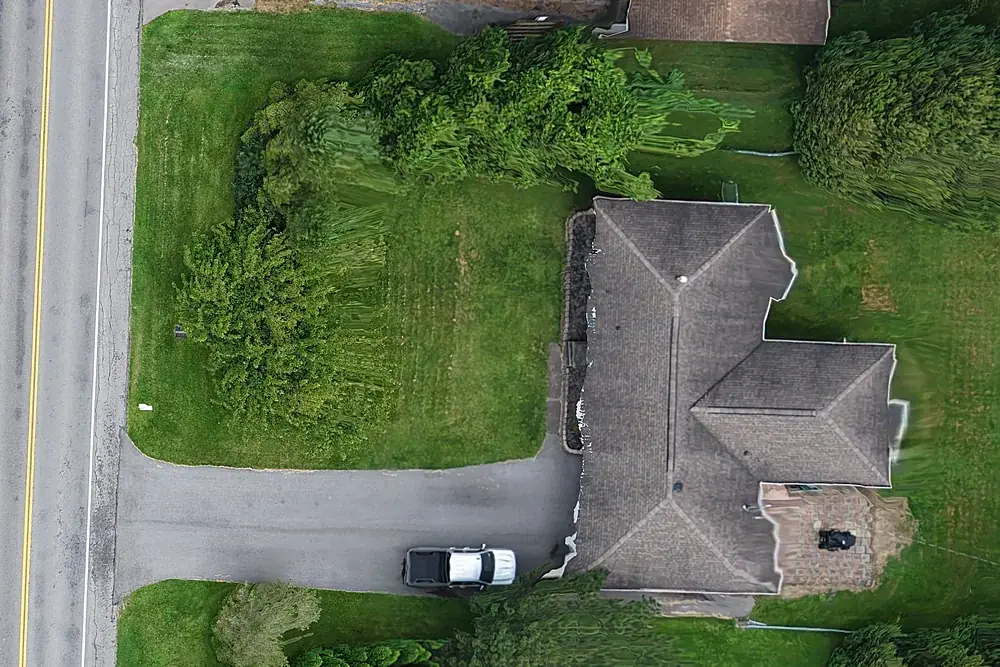
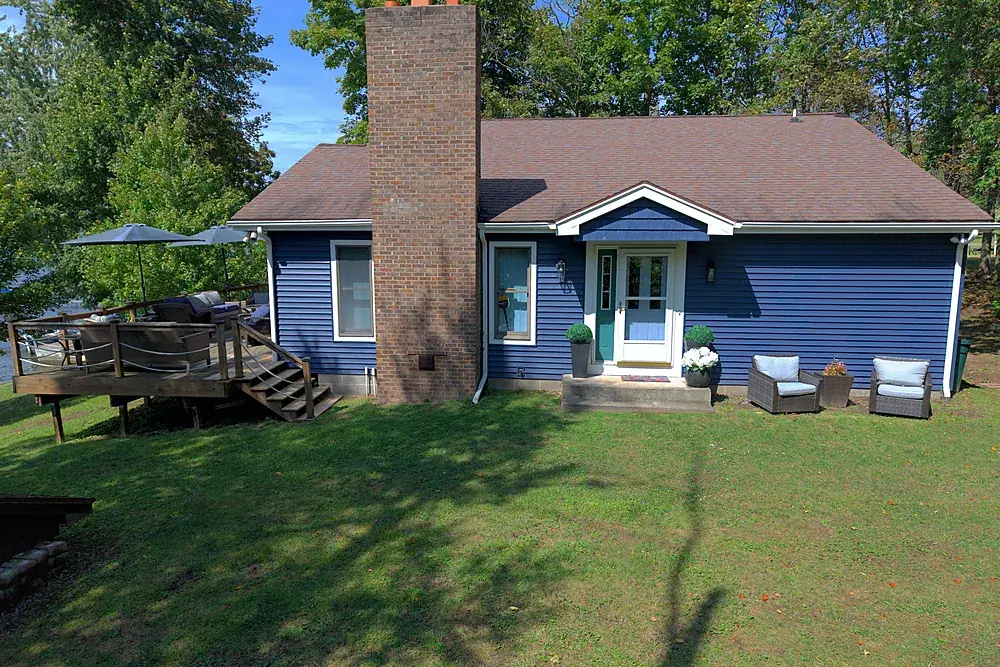
- At least eight edited aerial stills, more if the property needs them
- Every angle that matters: elevations, approach, the lot, the setting
- MLS-ready and web/social sizes, both included
- Usually back within 24 hours
Aerial + Ground
$299
- Everything in Aerial
- Plus a low-altitude ground-level exterior set
- However many frames the building takes, no cap
- Usually back within 24–48 hours
Aerial + Film
$399
- Everything in Aerial
- A 60–90 second listing film
- A vertical cut for Reels, Stories and TikTok
- A poster frame for your website player
Add-ons: vertical reel on its own $249 · ground set added to a film package +$100 · roof report +$95 · twilight or golden hour +$100 · same-day delivery, booked before 11am +$100 · travel beyond 25 miles $0.75/mile.
What "at least eight" actually means
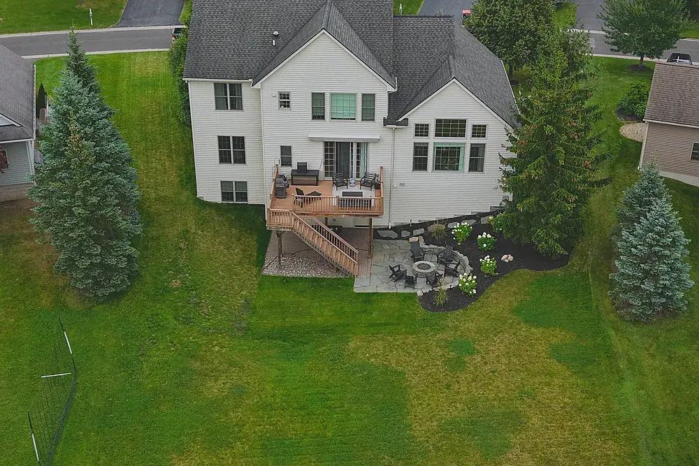
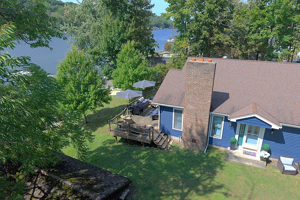
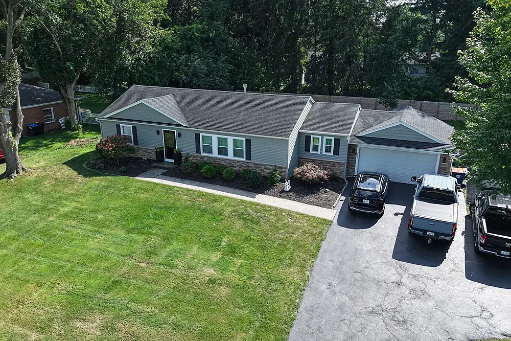
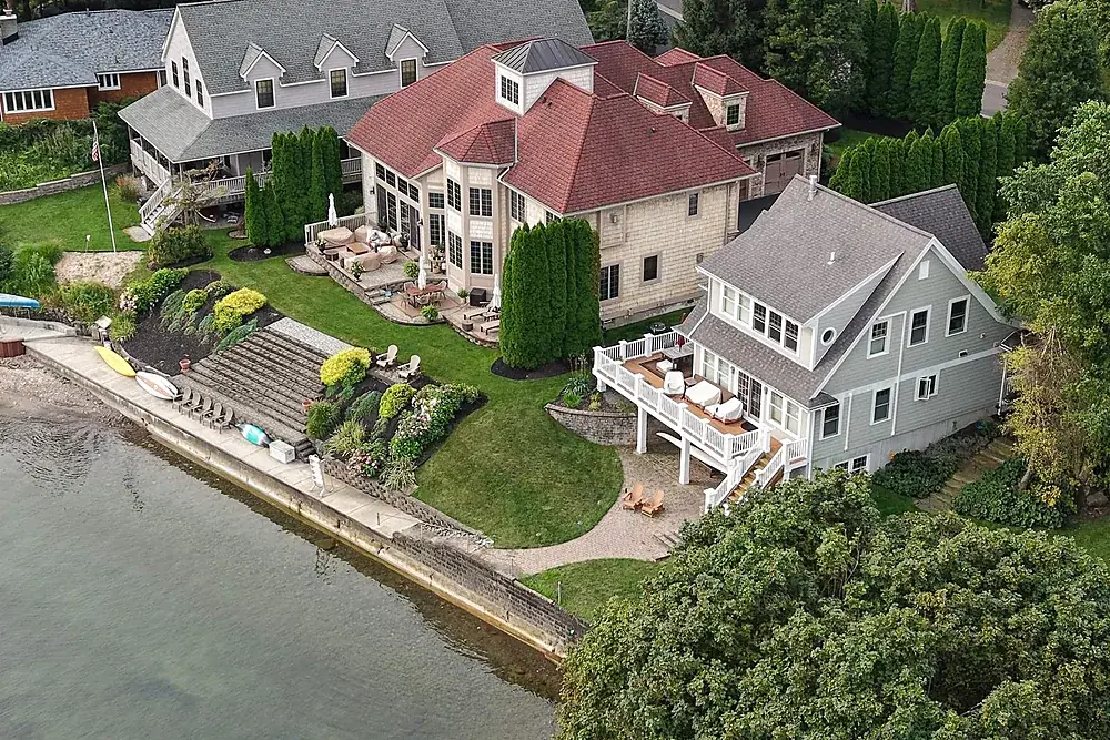
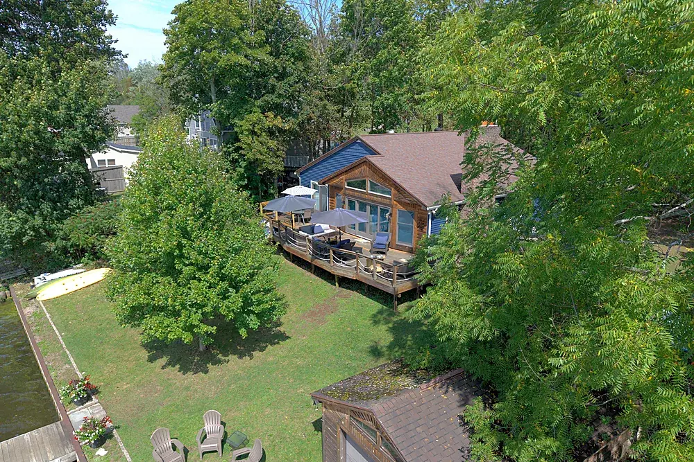
You're not buying eight photographs. You're buying the property covered properly. Every listing gets the same treatment: all four elevations, the approach, the lot and how it sits in its setting, plus whatever makes this one worth buying, whether that's the water, the barn, the acreage, the tree line or the view from the deck.
A ranch on a quarter acre might be eight frames. A corner lot with a pool, a pole barn and a view of the water might be sixteen. Same price. Every frame worth keeping is edited and delivered, labeled and sized so you can drag and drop it into the MLS.
City and near-airport listings: we fly them
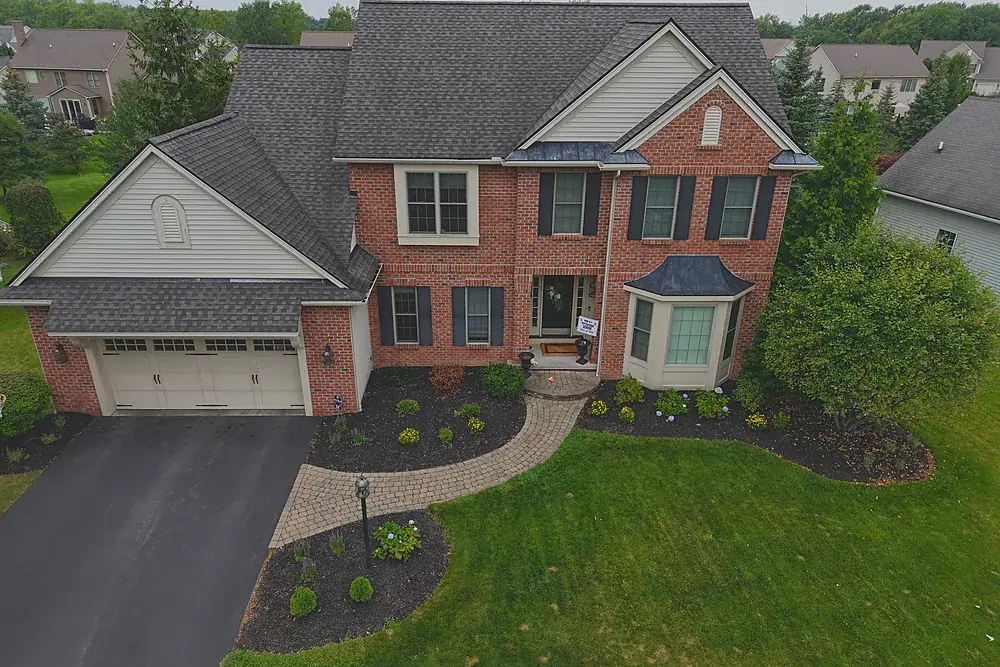
Downtown, the South Wedge, Park Ave, East Ave, Corn Hill, NOTA and the corridors around Greater Rochester International all sit in Class C controlled airspace. Flying there is legal with an FAA authorization requested before takeoff by a certified remote pilot. Many operators skip those addresses. We file the authorization ourselves, it doesn't cost extra, and it doesn't change the turnaround. How controlled airspace works →
Recent listing work
Every package includes
- MLS-ready files and larger web/social sizes, both, at no extra charge
- GPS data stripped from every delivered file
- FAA airspace authorization filed by us when the address needs it
- Delivery by private link, yours to keep
- Exterior aerials only; we never fly over neighbours or photograph people without permission
Short-term rentals: sell the stay, not just the building
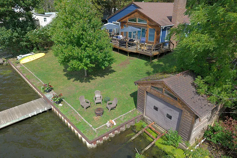
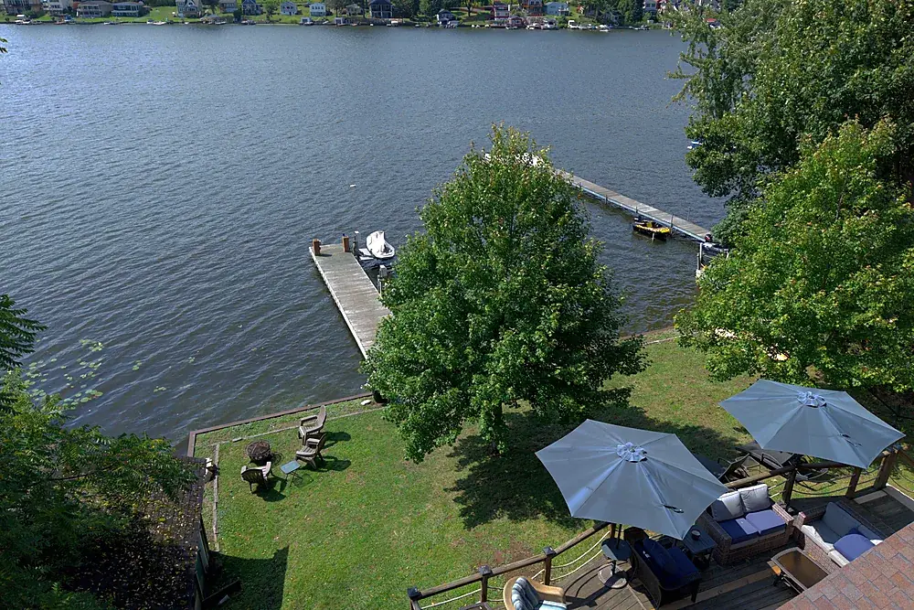
Airbnb and Vrbo guests book the whole experience. We show the dock, the water, the deck and the shoreline alongside the rental itself, with files sized for both platforms and a vertical cut ready for your own social accounts.
Agents and teams
Teams sending two or more listings in a rolling 90 days get team pricing: Aerial $149, Aerial + Ground $224, Aerial + Film $299. Photographers who want aerials under their own brand should see the white-label partner program. Acreage and lots without a house belong on the land and acreage page.
Common questions
How much does real estate drone photography cost in Rochester?
How many photos do I get?
How fast do I get the photos back?
Can you fly a listing in downtown Rochester or near the airport?
Do the photos work for the MLS?
Do you do interior photography?
Related services
Land & acreage aerials
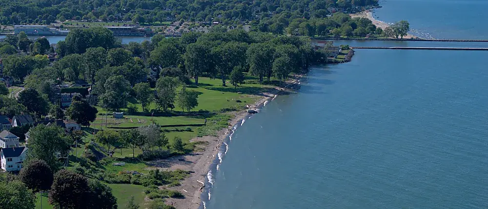
Aerial stills, approximate parcel lines and an orbit video for land listings up to 10 acres. $475.
Explore →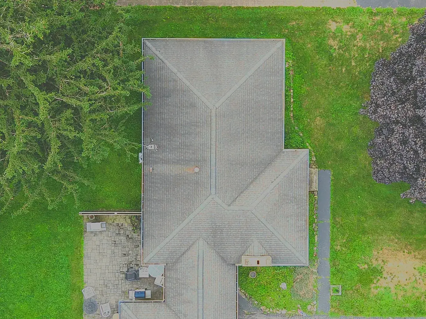
Drone roof inspection reports
Every slope and ridge photographed from above and annotated in a PDF. No ladder. $95.
Explore →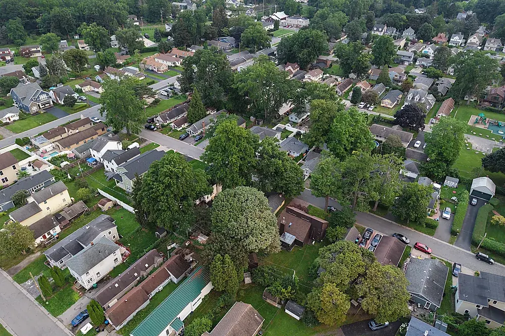
Flying in Rochester's controlled airspace
Why city listings have no aerials, and how we fly them legally.
Explore →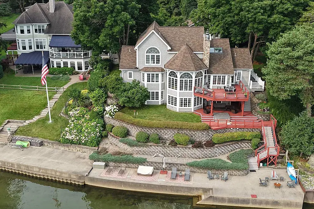
White-label partner program
Unbranded aerials for photographers, roof reports for trades, team pricing for agents.
Explore →Where we fly
Based in Irondequoit and serving Rochester and Monroe, Wayne, Ontario, Livingston, Orleans and Genesee Counties, including Irondequoit, Webster, Penfield, Fairport, Pittsford, Brighton, Henrietta, Greece, Gates, Chili, Hilton, Spencerport, Victor, Canandaigua, Brockport, Honeoye Falls, Sodus, Williamson, Geneseo, Batavia and Albion. Travel beyond 25 miles of Rochester is $0.75 per mile. FAA airspace authorization near Greater Rochester International is filed by us at no charge.